Library - institutional publications
Kocsis K. - Rudenko, L. - Schweitzer F. (ed.): Ukraine in Maps
| Author / Editor | Kocsis Károly - Rudenko, Leonid - Schweitzer Ferenc (eds.) | 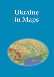 |
|---|---|---|
| Title | Ukraine in maps | |
| Publication data | Kyiv-Budapest, Institute of Geography, National Academy of Sciences of Ukraine; Geographical Research Institute of MTA, 2008 147 p. | |
| ISBN | 978-963-9545-16-8 | |
| Series | InMaps | |
| Price | HUF 2000 |
Since the disintegration of the USSR, the western world has had an ever-growing interest in Ukraine, its people and its economy. Ukraine, the second-largest European country, has a strategic geographical position at the crossroads between Europe and Asia. It is a key country for the transit of energy resources from Russia, Central Asia to the European Union, which is one reason why Ukraine has become a priority partner in the neighborhood policy of the EU. Ukraine has followed the track of democratic statehood consolidation, which includes vigorous economic changes, development of institutions and integration into European and global political and economic structures. In a complex and controversial world, Ukraine builds collaboration with other countries upon the principles of mutual understanding and confidence and establishes initiatives aimed at the creation of a system that grants international security.
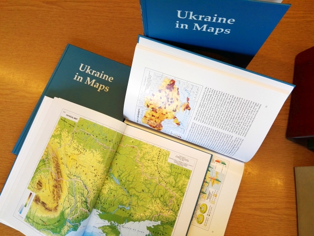
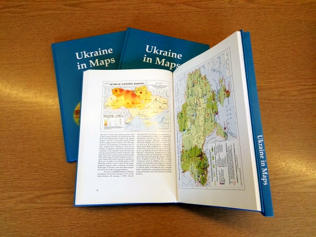
This recognition has prompted the collectives of the Institute of Geography of the National Academy of Sciences of Ukraine (Kyiv) and the Geographical Research Institute of the Hungarian Academy of Sciences (Budapest) to initiate cooperation and the volume entitled "Ukraine in Maps" is an outcome of their joint effort. This work is basically intended to make the results of investigations conducted by Ukrainian and Hungarian geographers available to the English-speaking public. The atlas follows the traditions of the publications by the Geographical Research Institute of the Hungarian Academy of Sciences. Similar to volume entitled South Eastern Europe in Maps (2005, 2007) it includes 64 maps, dozens of figures and tables accompanied by an explanatory text written in a popular scicentific manner. The book is an attempt to outline the geographical setting and geopolitical context of Ukraine, as well as its history, natural environment, population, settlements and economy. The authors greatly hope that this joint venture will bring Ukraine closer to the reader and make this neighbour country of the European Union more familiar, and consequently, more attractive.
A kiadvány letölthető az InMaps sorozat bemutató oldaláról.
Other publications


Katasztrófák tanulságai : stratégiai jellegű természetföldrajzi kutatások
More information


A magyarországi távközlés fejlődésének történeti térpályái
More information

